Remote Sensing Techniques and GIS - CE6003
Important questions and answers, Question Paper download, Online Study Material, Lecturing Notes, Assignment, Reference, Wiki
Remote Sensing Techniques and GIS
EMR AND ITS INTERACTION WITH ATMOSPHERE and EARTH MATERIAL
Definition and Proocess of Remote Sensing Remote Sensing And Its Components Electromagnetic Spectrum Wavelength Regions Important To Remote Sensing Wave Theory and Parrtical Theory Stefan Boltzmann law and Wien's displacementt law Energy Interactions With The Atmosphere Atmospheric Windows Spectral Signature Concepts Typical Spectral Reflectance Charactristics Of Water, Vegetation And Soil Important Questions and Answers - EMR And Its Interaction With Atmophere And Earth MaterialPLATFORMS AND SENSORS
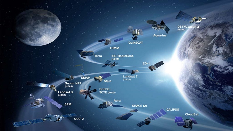
Remote Sensing Techniques: Types Of Platforms Orbit Types: Geo- Synchronous And Sun-Synchronous Passive and Active Sensors Resolution Concept: Spatial, Spectral, Radiometric Resolution Pay Load Description Of Important Earth Resources And Meterological Satellites Meterological Satellites Air Borne and Space borne TIR and Microwave Sensors Important Questions and Answers - Platforms and SensorsIMAGE INTERPRETATION AND ANALYSIS
Image Interpretation: Types Of Data Products Types of Image Interpretation Basic Elements of Image Interpretation Visual Interpretation Keys Digital Image Processing Image Classification Important Questions Answers - Image Interpretation And AnalysisGEOGRAPHIC INFORMATION SYSTEM
Geographic Information System Geographic Information System: Maps Definition Geographic Information System: Map Projections Geographic Information System: Map Analysis Definitions of Geographic Information System(GIS) Basic Components of Geographic Information System(GIS) Standard Geographic Information System(GIS) Software Geographic Information System: Data Types DBMS (Data Base Management Systems) Important Questions and Answers - Geographic Information SystemDATA ENTRY STORAGE AND ANALYSIS
Attribute Data Analysis Integerated Data Analysis Modeling In GIS Highway Alingment Studies Land Information System Important Questions and Answers - Data Entry, Storage and Analysis
Engineering
Electrical Engineering
Electronics Engineering
Civil Engineering
Mechanical Engineering
Computer Science Engineering
Information Technology
Medical
MBBS
Nursing
BPharm
MD
MBA
AnnaUniv MBA
TN School 11th 12th
Anna University
EEE - Anna University
ECE - Anna University
Civil - Anna University
MECH - Anna University
CSE - Anna University
IT - Anna University
Online Student Guide
UPSC Civil services Entrance exams
GATE Exam
GATE Exam EE Electrical
GATE Exam EC Electronics
GATE Exam CS Computer Science
GATE Exam CE Civil
GATE Exam ME Mechanical
IIT JEE IEEE Entrance Exam
NEET Entrance Exam
AIIMS Entrance Exams
Problem Solving and Reasoning
Verbal, Reading Comprehension
Data Interpretation
Logical Reasoning
Mathematics or Quantitative
CAT Entrance Exams
CLAT LAW Entrance exams
Banking Entrance exams
TANCET Anna University
TN State Board one mark
TN 11th Standard one mark