Geography - Geoinformatics | 12th Geography : Chapter 6 : Geoinformatics
Chapter: 12th Geography : Chapter 6 : Geoinformatics
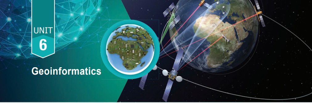
Geoinformatics
Geoinformatics
Learning Objectives
*
To understand major divisions of Geoinformatics-Remote sensing GNSS, GIS
* To value the application of remote sensing in various fields
*
To learn to define GIS and understand its usage, in general, learn to calculate
spatial data and its analysis (Raster and vector data).
Introduction
Geoinformatics is the integration
of remote sensing, Global Navigation Satellite System and Geographic Information
System dealing with spatial information. The advent of remote sensing, Global Navigation
Satellite System and Geographic Information System has made significant changes
in surveying and map making. A basic understanding of these components is crucial
for carrying out various types of surveys, navigation, hydrology, disaster management,
etc.
The field of Remote Sensing and GIS
has become exciting with rapidly expanding opportunities. Geoinformatics has three
major components namely remote sensing, GIS and GNSS.
Related Topics