Chapter: 11th 12th std standard Geography earth space Higher secondary school College Notes
Map interpretation : Basic Map Components (Parts)
Map interpretation
In developing map reading abilities and skills, certain basic principles
must be applied. Every map symbol must be visualized by the student as he/she
learns to read a map. The symbols introduced to the student should be those,
which refer to landscape features of which he/she already has an image. The
teacher of geography must be equally careful in seeing that the student
associates the map symbols with the actual landscape features.
In most schools, and in textbooks, the conventional map is introduced in
the fourth standard. At this age, the child begins to use maps for locating
places and tracing trips beyond his/her own local area. The children should
therefore know the cardinal directions. One of the basic functions of maps is
to help us to orient ourselves to and to locate places on the earth. Unless a
child knows the cardinal directions, he/she cannot use a map effectively.
At higher
levels of education, say Plus 2 or Standard XII, the basic rules of map
interpretation is still the same. At this level of education, students must
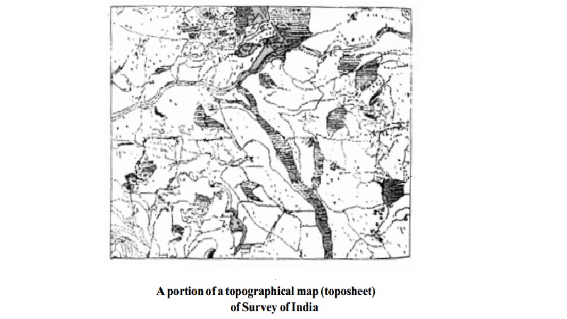
learn more about not just maps but (a) the topographical sheets (toposheets,
for short) and (b) the weather maps and images. Constant practice, frequent
re-teaching, and the review are necessary as in the development of reading and
arithmetic skills.
The Maps
What is a map? There are many definitions, and this is only one: In the words of Harley
and Woodward (The History of Cartography, 1987), maps are graphic representations that facilitate a spatial understanding of things, concepts,
conditions, processes, or events in the human world. The maps are flat
representations of the earth.
The advantages of the maps are:
a)
It is easier to use, easy to carry around as it
can be rolled or folded up. It provides an easy to use reference when collected
into an atlas, a collection of maps and related material;
b)
It can show the earth's entire surface or just a
small part;
c)
It can show more detail; and
d)
It can present information about a wide range of
topics-physical and cultural features
The disadvantages of the maps
are the following:
All maps have distortions (inaccuracies) because it is impossible to
represent a three-dimensional object like the earth accurately on flat maps.
Basic Map Components
(Parts)
What are the basic parts of a map and how can they be used to read maps
in order to analyse the physical and human landscapes of the world? The basic
parts of the map are:
1.
Title identifies what the map is about and what parts
of the earth it shows.
2.
Legend (key) explains the meaning of colours and
symbols used on the map. This may
include the key to elevation, distance above or below sea level.
3.
Direction indicator identifies direction
or orientation on a map.
4.
Map scales provide information used to measure distances on maps and show the size of a map in
relation to the size of the real world by giving the ratio between distances on
the map and actual distances on earth.
5.
Grid is used to locate places on a map
Areas can be represented using a variety of scales. The amount of detail
shown on a map is dependent on the scale of the map.
Basic Principles of
Map Reading
In developing map reading abilities and skills,
certain basic principles must be applied by the map-reader to translate map
symbols into landscape images.
=
Map Reader must have ideas about the symbol and
also the Real World (Landscapes). This is called the perception of the symbols and the Real World.
=
If these two are correctly revealed, then the
understanding of the map will exactly (correctly) coincide with the Real World
(Landscapes)
Related Topics