Geography - Representation of Relief Features and Climatic Data | 11th Geography : Chapter 10 : Representation of Relief Features and Climatic Data
Chapter: 11th Geography : Chapter 10 : Representation of Relief Features and Climatic Data
Representation of Relief Features and Climatic Data
A map gives all the information about a place according to the scale and projection used for mapping.
Introduction
A map gives all the information about
a place according to the scale and projection used for mapping. A two
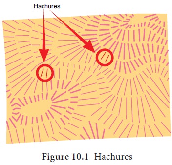
dimensional map is capable of representing the third dimension - relief
(elevation and slope) by various methods which has been in practice from ancient
times.

Tags : Geography , 11th Geography : Chapter 10 : Representation of Relief Features and Climatic Data
Study Material, Lecturing Notes, Assignment, Reference, Wiki description explanation, brief detail
11th Geography : Chapter 10 : Representation of Relief Features and Climatic Data : Representation of Relief Features and Climatic Data | Geography
Related Topics
11th Geography : Chapter 10 : Representation of Relief Features and Climatic Data