Topographical Map | Geography - Open Series Maps | 11th Geography : Chapter 11 : Interpretation of Topographical Map
Chapter: 11th Geography : Chapter 11 : Interpretation of Topographical Map
Open Series Maps
Open
Series Maps
Survey of India (SOI) brings out two
series of maps through the National Map Policy, 2005.
Defence Series Maps (DSMs) - These
topographical maps (on Everest/WGS-84 Datum and Polyconic/UTM Projection) are
on various scales (with heights, contours and full content without dilution of
accuracy). These maps mainly cater for defence and national security requirements.
This series of maps (in analogue or digital forms) for the entire country are
classified by the Ministry of Defence.
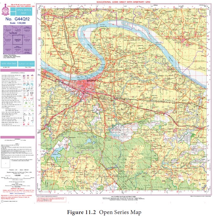
Open Series Maps (OSMs) - OSMs are
brought out exclusively by SOI, primarily for supporting development activities
in the country. OSMs bear different map sheet numbers and are in UTM Projection
on WGS-84 datum. Each of these OSMs (in both hard copy and digital form) become
‘Unrestricted’.


Related Topics