Topographical Map | Geography - Interpretation of Topo sheet | 11th Geography : Chapter 11 : Interpretation of Topographical Map
Chapter: 11th Geography : Chapter 11 : Interpretation of Topographical Map
Interpretation of Topo sheet
Interpretation
of Topo sheet
Study of Topographical Maps
Topographic maps are general
reference maps. They are also called ordnance maps. These maps are ideal for
researchers, planners, administrators, defence personal, hikers, tourists and
for class room purpose. They give clear details of actually surveyed natural
and manmade features. These maps are drawn to scale.
Geographical knowledge and clear
understanding of conventional signs and symbols is essential to understand and
interpret a Survey of India Topographical sheet.
A topographic sheet is usually
interpreted under the following sub headings:
•
Marginal information
•
Relief
•
Drainage
•
Natural and
•
Man made
•
Vegetation
•
Land use
•
Settlement
•
Transport and communication
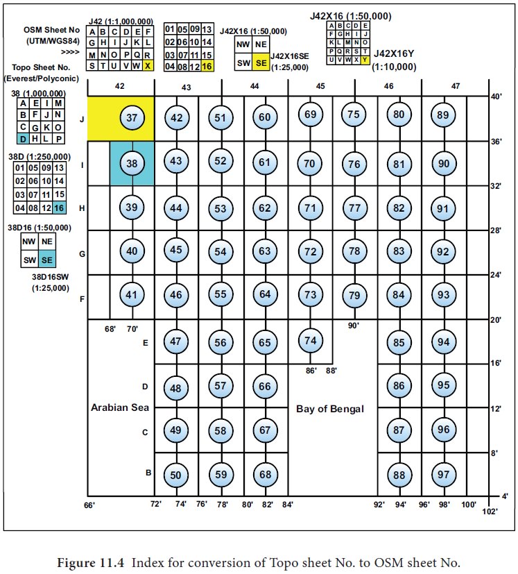
Marginal Information
The marginal information includes the
topographical sheet number, direction, its location, grid references,
latitudinal and longitudinal extent in degrees, minutes and seconds, scale, the
districts, covered, contour interval etc.,
Relief
Relief refers to the general
topography of the area under study. First, the landforms like mountains, hills,
plateaus along with the peaks, ridges should be identified and the general
direction of slope can be determined. The contour values and patterns have to
be studied. Spot heights, bench marks etc help in understanding the height of
certain areas.
Drainage
Drainage of an area can be understood
by observing the characteristics of the rivers, their tributaries, drainage
pattern.
Vegetation
Important trees are shown by special
symbols. Trees, grasses and shrubs are all shown in green colour. Agricultural
land is shown in yellow colour.
Land use
Land use includes the use of land
under different categories like agriculture, pasture, barren land and forest
area. Other land use categories could be mining, industry, trade, tourism,
fishing or cattle rearing. It also informs us about the presence (location) of
airports, railway stations, schools offices, trade centres, electric
substations, etc. Sometimes, land use is directly mentioned, for example, brick
kiln, limestone quarry, etc. At other times it has to be inferred.
Settlements
The size, shape, pattern site, position
and function of settlements should be considered while interpreting a
topographical sheet because all these aspects are interdependent.
Settlements could be dispersed or
scattered, compact or nucleated type. They may be radial or linear in pattern.
They are also studied under the following heads, based on their size and the
activities the population is engaged in.
Permanent settlements are shown by
solid squares and temporary ones in outlines of squares.
•
Rural settlements: They can be compact, semi compact, dispersed or linear, etc.
•
Urban settlements: It is the capital city, administrative town, trade centre, port town,
religious or tourist station or a hill station.
The basic occupations that the people
are probably engaged in, can be understood after the land use pattern and the
type of settlement have been understood.
Transport and communication
The means of transport and
communication being used can be identified from the presence of national and
state highways, district and village roads, cart tracks, camel tracks,
footpaths, railways, waterways, telephone and telegraph lines, post offices,
etc.
Roads are not drawn true to scale.
Metalled roads are shown by double lines, and unmetalled by broken double
lines. Foot path shown by red dots and cart track by single broken lines.
Different kinds of railways are shown by different signs.
Related Topics