Urban changes during the British period | Chapter 7 | History | 8th Social Science - Conclusion, Recap, Glossary | 8th Social Science : History : Chapter 7 : Urban changes during the British period
Chapter: 8th Social Science : History : Chapter 7 : Urban changes during the British period
Conclusion, Recap, Glossary
Conclusion
The British empire gradually
consolidated and established an elaborate spatial structure of administration
with an imperial capital, provincial capitals and district headquarters. The
new rulers brought new officials, new institutions and new structure to these
towns with a kacheri, cantonment, police station, jail treasury. Public garden,
post office, schools, dispensary and above all a municipal committee.
Thus in course of time,
administrative headquarters emerged as the most important towns and cities of
the country. For example, by the beginning of 20th century, Calcutta, Bombay
and Madras had become the leading administrative commercial and industrial
cities of India. These cities became the central commercial area with buildings
of European style. Sub urban railways, tram car and city buses gave the
colonial cities a new look and status.
Recap
* The evolution of urban settlements
has occurred in different ways and in different stages.
* In ancient times towns emerged
around king’s palaces. During medieval times the towns functioned either fort
city or port city.
* With the extension of domination
British developed new towns depending on its location, purpose and resources.
* In the late 18th century Calcutta,
Bombay and Madras rose as Presidency cities.
* Chennai was once a group of
villages. Sir Francis Day of the East India Company was granted land in 1639 to
setup factory which later came to be known as Chennai.
*On 17th July 1996, Madras was officially
renamed as Chennai.
GLOSSARY
1. Cantonment: a military station in british India இராணுவ முகாம்
2. Urbanisation: the process of making an area more urban நகரமயமாதல்
3. Municipality: a town or district that has local government நகராட்சி
4. Dyarchy: government by two independent authorities இரட்டையாட்சி
5. Rechristened: give a new name to பெயரிடப்பட்டது
6. Treasury: a place or building where treasure is stored கருவூலம்
REFERENCE BOOKS
1. G. Venkatesan, Development of Rural Local Self
Government, Rainbow Publications, Coimbatore, 1983.
2.Saroja Sundarajan, Madras Presidency
in Pre-Gandhian era; a historical perspective, 1884-1915, Lalitha Publications,
1997.
3. Atlas of the Madras Presidency, Central
Survey Office, Madras, 1921.
4. India, Dorling Kindersely
Limited, London, 2002.
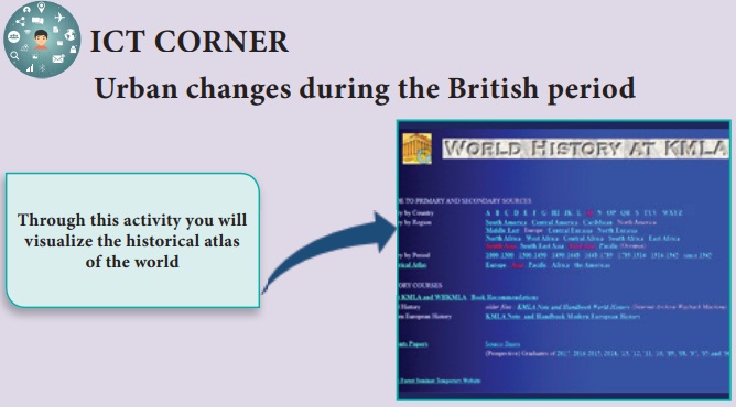
ICT CORNER
Urban changes during
the British period
Through this activity you will visualize the historical
atlas of the world

Step – 1 Open the Browser and type
the URL given below (or) Scan the QR Code.
Step – 2 Click the play button in
left side on the screen
Step – 3 Scroll down to explore the
pictorial map with descriptions
Web URL: https://www.zum.de/whkmla/region/india/xpresbengal.html
*Pictures
are indicatives only.
*If
browser requires, allow Flash Player or Java Script to load the pag
Related Topics